Journey in the Wind River Range: A Compact Introduction to an Expansive Landscape
November 10, 2020
The Green River begins its 730-mile gravity-driven flow on the snowy slopes of the Wind River Range before meandering through Wyoming, Colorado, and Utah, where it joins the Colorado River inside Canyonlands National Park. Looking out the passenger-side window of the car, I can see it meandering through a floodplain replete with tall cottonwood trees. We are driving north through Wyoming on day one of a six-day trip. Looking out past the lush Green River floodplain, a vast and dry plain stretches out to the horizon. Soon though, hazy bluish-green peaks begin to appear on the horizon. As we draw closer, the spine of the Wind River Range dominates our view from north to east. Time has been exerting its erosive force on this place for longer than human memory can fathom. The alpine peaks we can see are the glaciated remnants of a granitic batholith that formed over a billion years ago under the surface of the Earth. In more recent history, indigenous peoples inhabited the range at least as far back as 9000 years ago.

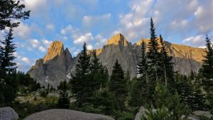
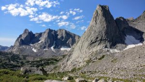
First, we leave a car at the Elkhart Trailhead just above the town of Pinedale and then drive to the Big Sandy Trailhead towards the southeast end of the range. The route we have chosen is a point-to-point thru-hike of sorts that doesn’t adhere completely to any one trail or route. The hike begins by following a path along the Big Sandy River to our first campsite, which sits below the Cirque of the Towers. On the morning of the second day, we see climbers scaling one of the 50 classic climbs of North America on the Pingora tower.

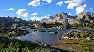
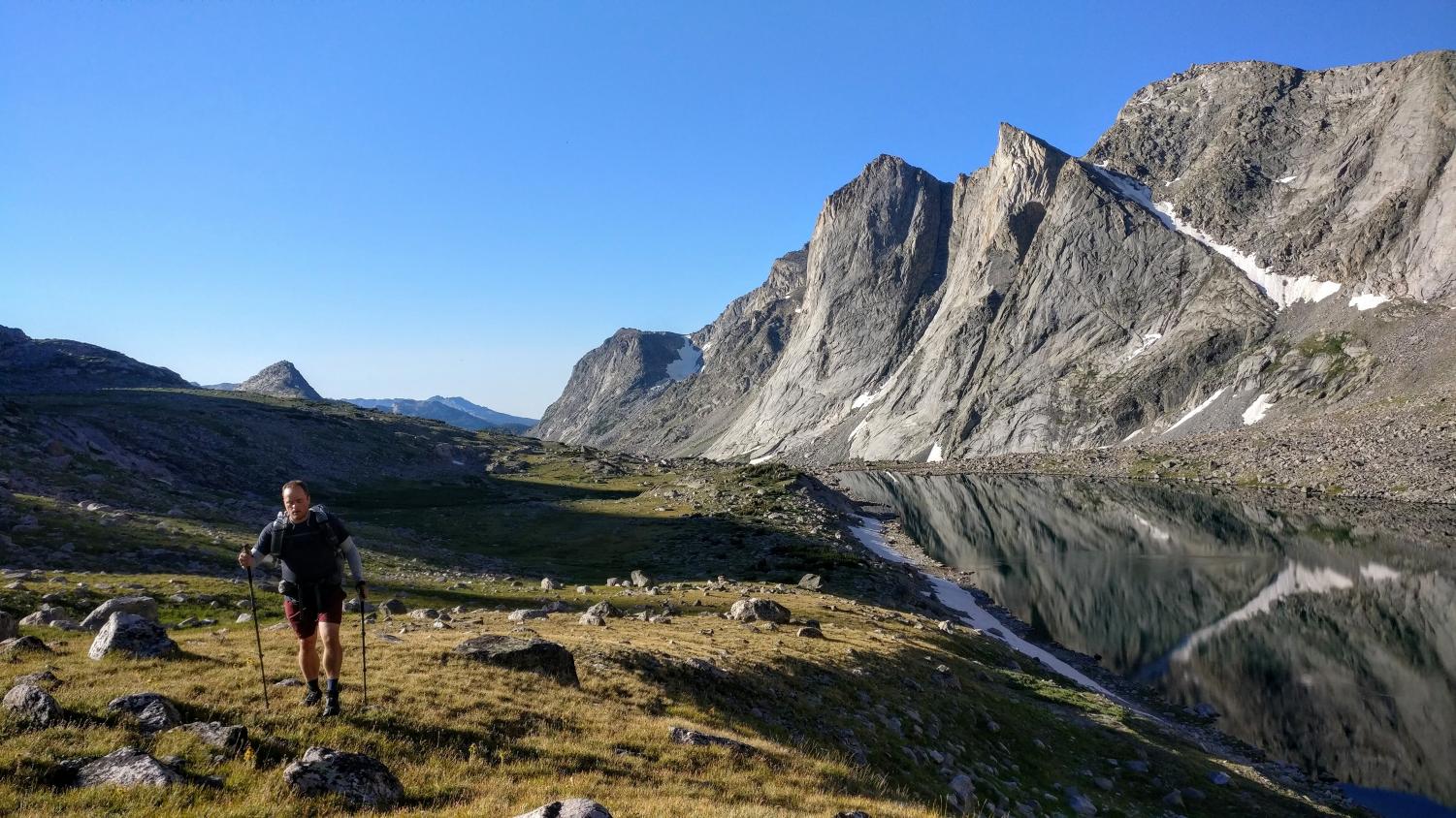
Our path out of the cirque follows the Wind River High Route as developed and popularized by hikers like Adventure Alan and Andrew Skurka. The high route is a mostly off-trail journey that hugs the spine of the entire range. We remain on the high route for the next 25 miles or so with significant off-trail mileage. The hiking is brutal and time-consuming for the next three days. We soon lose count of the number of alpine lakes and granite spires we have passed. Route-finding over remote passes, around lakes, over streams, and through spruce forests is a constant challenge while battling fatigue. Despite the difficulties of this method of travel, leaving the trail behind is a kind of freedom that every hiker should experience. “Land of the free” takes on a new meaning when hiking across a trail-less tundra towards a distant pass.
Never before have my eyes been so continually inundated by breath-taking views. The highlight of this first section for our group is the time we spend at the feet of Ambush and Raid peaks, nearly vertical granite slabs that sweep up 2000 feet from the valley floor. Paradoxically, this place is as harsh as it is beautiful. The wildness and remoteness of this place cause my emotions to walk a fine line between excitement and uneasiness. Even though this wilderness is among the most untouched landscapes in the lower 48, humans are still having an impact. The glaciers here have shrunk significantly in recent years because of anthropogenic climate change. Shrinking ice is only one of many other climate change-induced problems that alpine areas and their drainage basins face in the coming years.
Over the next four days, blistered and aching feet take us through more incredible alpine terrain full of hardy wildflowers, ancient whitebark pine, and endless expanses of granite speckled tundra and towering peaks. We leave the high route on day four to follow the Continental Divide Trail and catch up on mileage. Titcomb Basin, considered by some to be among the greatest scenic views in the lower 48, is another highlight near the end of our journey. On day six, we finish our 75-mile trek and watch the Wind River Range fade into the horizon as we head back across the plain towards home.


