At a glance:
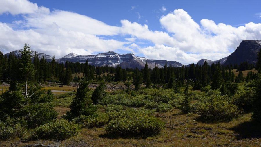
High in the sky, at 13,528 feet stands Utah’s highest mountain – Kings Peak. A very popular backpacking destination in the High Uinta mountain range that goes right through the Highline Trail.
What to expect:
One of the more popular routes to the top of Kings Peak starts at Henry’s Fork, beginning with a moderate elevation gain over the first ten miles. You will ascend a river drainage known as Henry’s Fork and follow the river most of the way up, fortunate for those who frequently need to fill up water.
After passing Alligator Lake, detour from the trail to soak in the scenery, eat a sandwich, and catch your breath before the next long haul. Some hikers even set up their first or last camp here depending on the length of their expedition. One of the next most popular places to set up camp before the summit is either Henry’s Fork Lake or next to Dollar Lake, closer to the pass you’ll summit tomorrow.
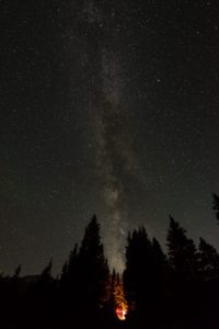
The stars on a clear night are a kaleidoscope of colors; you’ll finally understand why they call the galaxy the Milky Way.
The next morning is your summit bid. Trek through Gunsight Pass and seemingly endless switchbacks. At the top, you can look into the next basin over (Painter Basin) and know the peak it near (about three miles away). Walk through waist-high shrub until you round the right-hand side of the basin. Now comes the final ascent toward Anderson Pass, and the views keep getting better. Look at the boulder field and step slowly to the top, avoiding unstable rocks, which will most likely have snow and ice between. After about an hour and a half of extremely slow-cautious hiking through the boulder field, you’ll reach the summit. There is a small plateau for you to throw your pack off and enjoy the view. Kick your feet up and take in the moment and the view that you’ve earned.
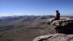
After reaching the summit, you have only finished half of your journey. The next half is the descent back to the bottom. Have fun and enjoy the trek back home.
Getting there:
Take I-80 for an hour and a half through Wyoming, turning off around Fort Bridger to follow small roads south back into Utah. The trailhead is at the end of FR-077, a total of about 2 1/2 hours from Salt Lake City.
