Learning to survive in the wilderness is a skill many outdoorsmen and women brush under the rug. We think we’ll never get lost, our equipment will never fail, and if we ever injure ourselves, it won’t be more than a scratch.
Navigation is essential in wilderness preparedness, especially since Google Maps doesn’t work when you are 15 miles away from the nearest trailhead in the middle of the San Raphael Swell. This spring break, learn how to find your way with these three tips.
FOLLOW THE STARS
If you are hiking with the stars in the northern hemisphere, the best tip for navigation is to look for the North Star, aka Polaris. Locate the Big Dipper, one of the more recognizable constellations. If you look at the opposite side of the handle on the Big Dipper and draw a straight line using those two stars, you’ll find the North Star. It is the brightest star on this line and is about three fist sizes away. Find south using Orion, following his belt straight down to the horizon when it’s vertical in the sky.
READ A COMPASS
While compasses all point North based off of the magnetic pole in the northern hemisphere, they can also be used to accurately point you in any direction. Using a combination of the compass needle, the compass housing, and the orienting arrow, any direction is possible. For a magnetic compass, this is done by rotating your compass housing until the direction you are looking for is lined up with the direction of travel arrow. Keeping these all fixed, rotate yourself until the compass needle lines up in the direction of north within the compass housing. With both of these aligned, you will have the correct direction of travel.
INTERPRET A TOPOGRAPHICAL MAP
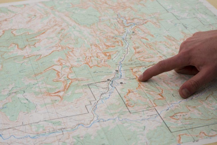
Topos give you an accurate three-dimensional representation of the lay of the land in two dimensions, so keep these tips in mind when reading one. Every point on the same contour (wavy) line has the same elevation. One side of a contour line is uphill and the other is downhill, based on the distance between those lines. Contour lines close to form a circle or they run off of the map. The area inside the circle is almost always higher than the contour line. This helps gauge the elevation gain or loss on a mountain pass trail. It lets you know how much work it will be to go one mile in direction X compared to direction Y. Now that you can read contour lines, try to correlate them to physical features around you, such as peaks, valleys, or waterways.
Once you have these skills, you are set to navigate almost any terrain. The best part? No batteries or charging required.
Photo by Peter Creveling


