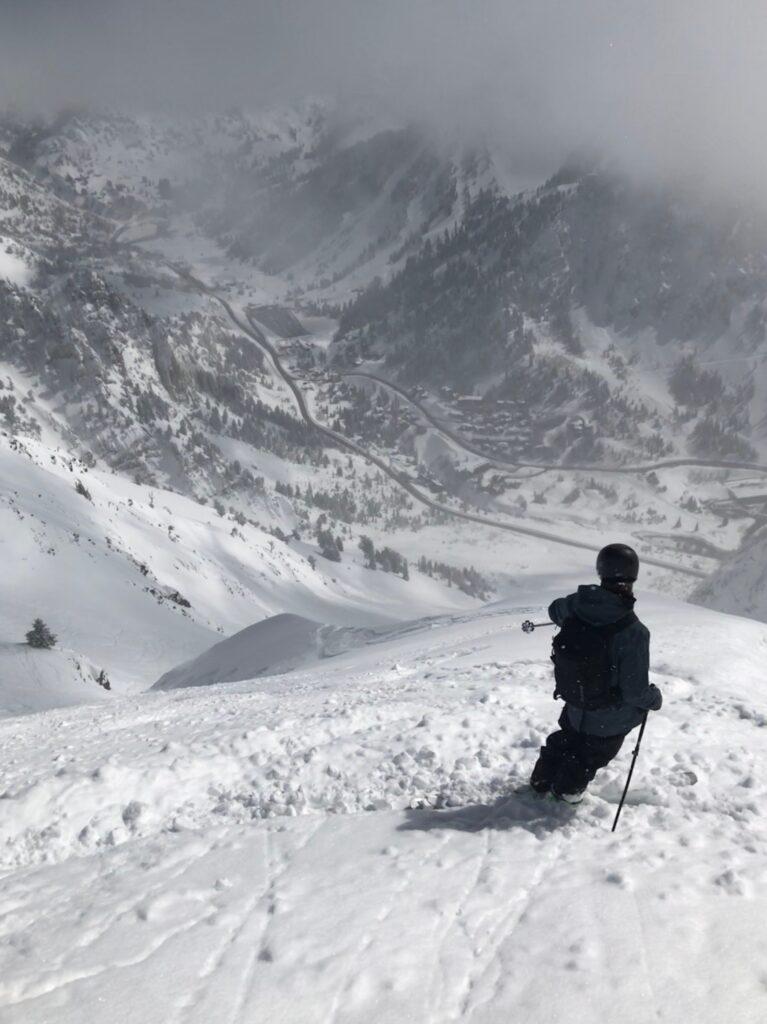
Mount Superior is a well known peak in Little Cottonwood canyon that tops out just above
11,000 feet in elevation, and towers above the canyon road with a vertical gain of 3,000 feet.
Superior is mostly known as a burly winter ski descent with a formidable effort required for
summiting, but is also becoming a popular trail run for hardcore mountain athletes who are not
afraid to do some rock scrambling. I was fortunate enough to summit and ski Superior this
winter with two other skiers who had never summited before, and was more or less converted
into an aspiring alpinist in one February morning.
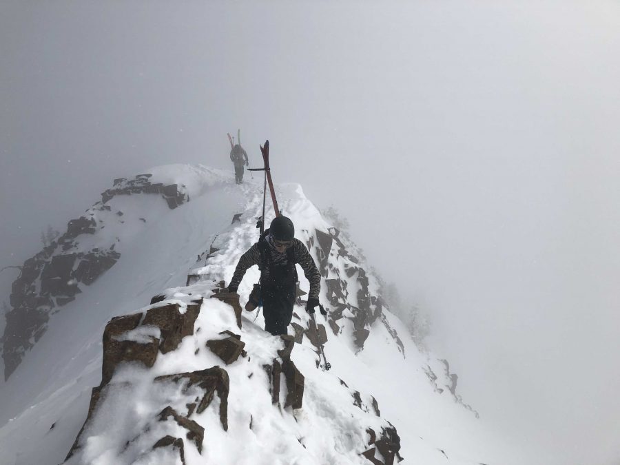
 Without getting too deep into navigational details, the ascent essentially consists of three chapters. Skinning up to Superior’s ridge line from the road is step one, then skinning along the ridge to the final push, and lastly boot packing up the terrifyingly steep and narrow final section
of the ridge to the summit. Many people forego this final part of the trek because the risk is too great for the gained vertical feet, but there is only one way to reach the summit without the help of a helicopter. Before mid to late January, those who travel to the top with hopes to ski down often use a rope to secure themselves because the ridge does not accumulate enough snow for safe travel until later in the season. It is with good reason that the final section of Superior’s
ridge line has been dubbed ‘The Sidewalk in the Sky,’ as it is not a place where its travelers can afford to miss a step.
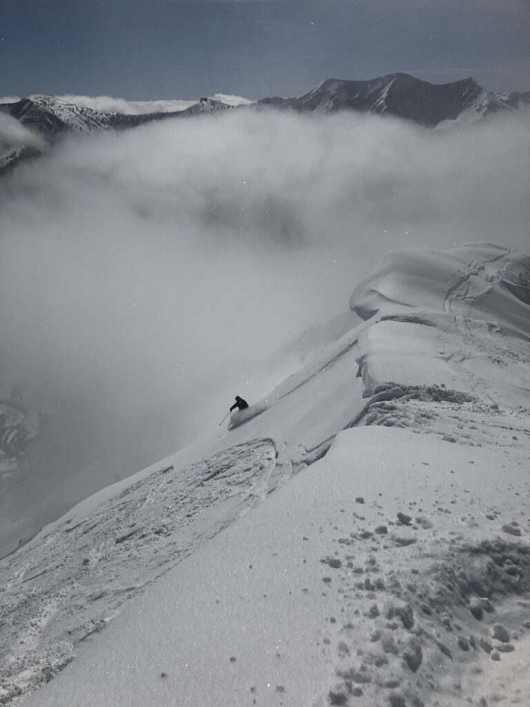
While the ascent is the bulk of the journey that is skiing Mount Superior, and takes the better
part of four hours for most, the descent is truly a thing of dreams when met with good
conditions. Well traveled skiers have been known to suggest that the peak’s South face
resembles terrain found in Alaska more closely than what is found in Northern Utah. The
steepness matched with the volume of snow that sticks to the face due to its elevation is unique
to this particular slope, and makes for truly incredible turns all the way to SR-210. Neither its
ascent or descent should be taken lightly, and it is certainly a good idea to ski lower objectives
on the ridge like Little Superior before attempting to summit. It is also worth noting that the
outrun of any skiable line on Superior will spit you out around the Alta Peruvian lodge, before
Alta Ski Area’s main entrance will probably require hitchhiking or walking up the road to get
back to the trailhead of Cardiff pass.
In the summer months, Superior is equally impressive as a trail running objective. The trek
certainly blurs the lines between hiking, trail running, and rock climbing, and is truly a mix of the
three. Cardiff pass trail stretches 5.3 miles to the top of the peak and once hikers near the top,
the ‘trail’ is not marked and can be interpreted differently by different people. Hikers should be
careful about triggering loose shale, and should not be afraid to use their hands to scramble
around technical sections. Due to the steep and intense nature of this trail, it is best to avoid the
heat of the day if possible and bring lots of water. Those who make it to the top are rewarded
with stunning views of the Wasatch, while being surrounded by wildflowers and topping out an iconic
11,000 foot peak.


